

ATLANTIC MANTA & DEVIL RAY RESEARCH COALITION
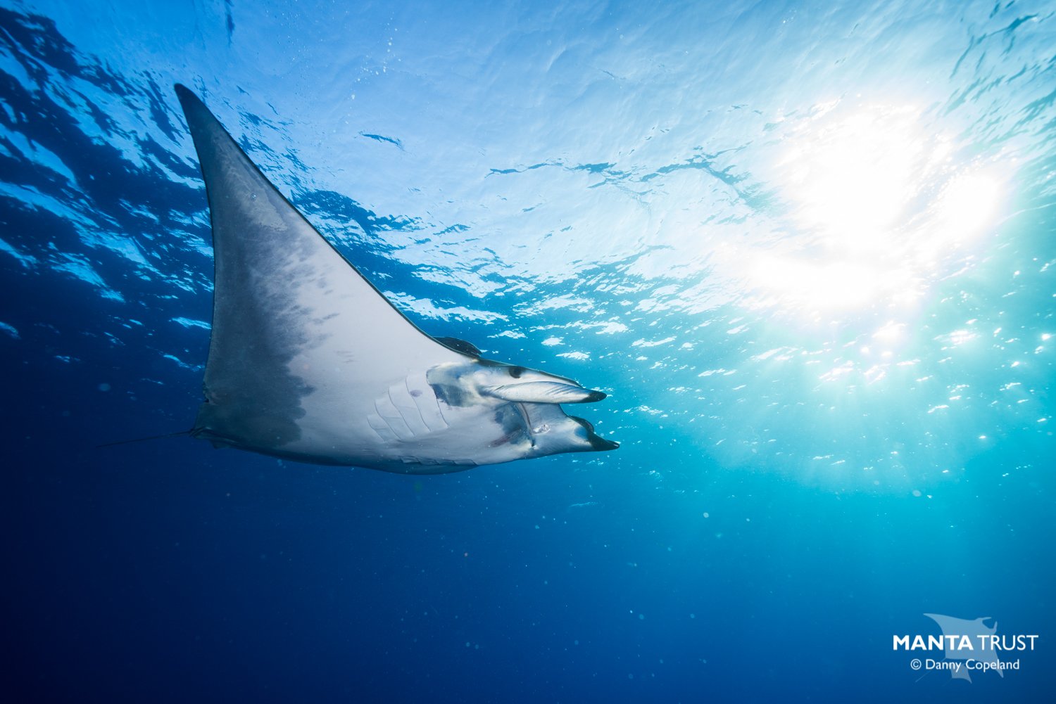
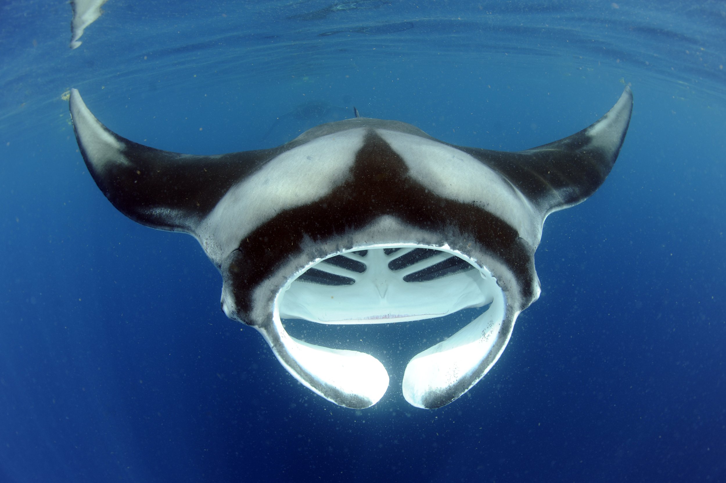
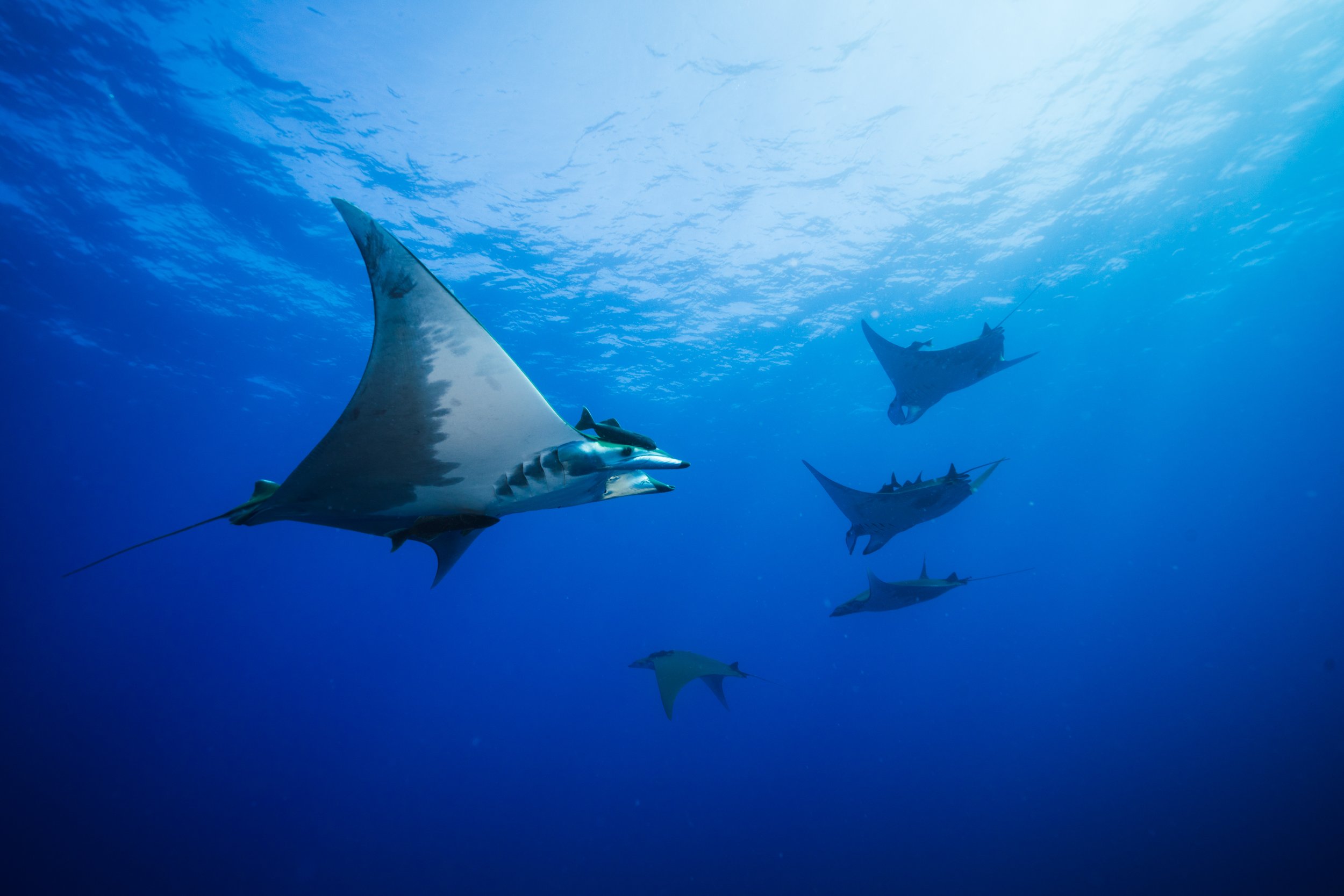
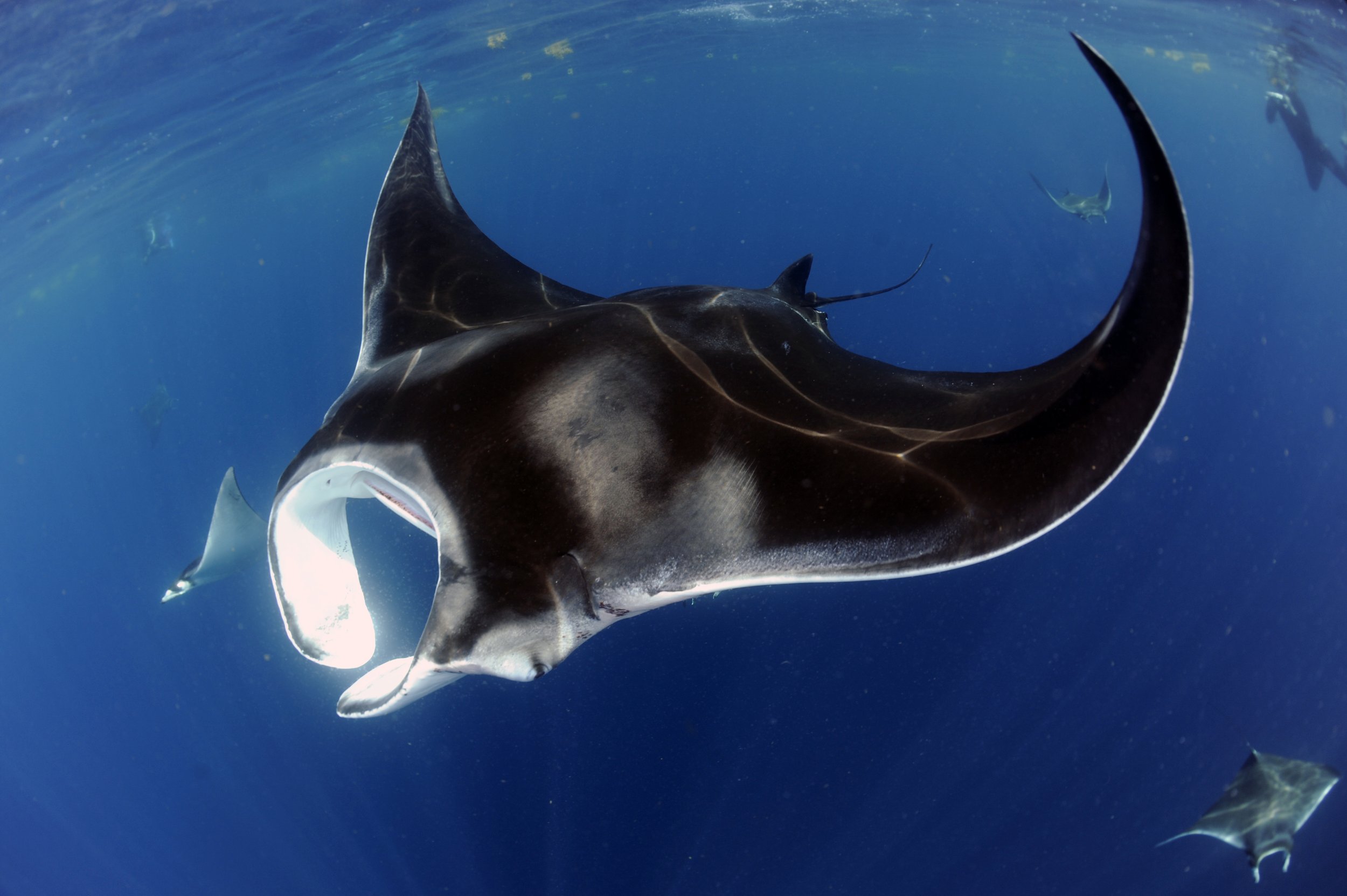
The Atlantic Ocean is home to seven of the ten extant mobulid ray (manta and devil ray) species, including two manta and five devil ray species. All assessed mobulid rays which occur in the Atlantic Ocean are currently classified as Endangered on the IUCN’s Red List of threatened species due to conservative life history traits and declining population trends. However, little information is available on most of these species’ biology and ecology, and even their exact distribution remains uncertain.
The Atlantic Manta & Devil Ray Research Coalition aims to fill critical knowledge gaps to inform mobulid ray species conservation in the Atlantic Ocean, especially for devil rays, which have been the least studied to date. Building on existing affiliated projects, this new research initiative will bring together multiple individuals and organizations to connect the dots and unlock a comprehensive picture of mobulid rays throughout the region. The coalition is also dedicated to raising awareness of the environmental and anthropogenic threats faced by mobulid rays on a regional and global scale.
GOAL
To facilitate collaborative, conservation-based mobulid ray research in the Atlantic Ocean to better our understanding of evolution, ecology, and biology of mobulid rays, as well as the threats they face and how to mitigate them.


MAIN OBJECTIVES
To achieve our goal, the Atlantic Manta & Devil Ray Research Coalition works to meet the following objectives:

Establish the spatio-temporal distribution of all mobulid ray species in the Atlantic Ocean and elucidate the environmental drivers of sightings and habitat use.

Investigate population composition, connectivity, genomic variation and local adaptation.

Investigate key life history characteristics at the species level (e.g., morphometrics, maturity, fecundity, longevity).

Determine seasonal movements and habitat use at the population level to identify critical habitats (e.g., essential for feeding and/or reproduction).


Identify the threats mobulid rays face and propose mitigation strategies.
Investigate prey landscapes (e.g.. composition, biomass, size spectra, swimming capacity, etc.) and mobulid ray foraging strategies.

Combine ecological, biological and genetic data to disentangle evolutionary and ecological drivers of intra- and inter-population variation and predict how these populations may respond to future environmental change.

Expand citizen-science data collection in the region by promoting sighting reports and the use of photo-ID within the wider community.

Develop education and outreach initiatives to inspire people from diverse backgrounds to take part in the conservation of mobulid rays and their habitats.

Disseminate findings to the public, researchers, non-governmental organizations (NGOs) and governments to aid the development and efficacy of management initiatives.

STUDY LOCATIONS & PARTICIPATING ORGANISATIONS


RESEARCH THEMES & METHODS

Distribution
Scientific fishing surveys, aerial surveys, bycatch/landing records, citizen observations, historical records.

Population Composition and Taxonomy
Genetic analyses, morphology, traditional ecological knowledge, abundance estimates.

Movement and Connectivity
Photo-ID/mark recapture, satellite tracking, acoustic tracking, genetic analyses.

Life History
Photo-ID (survival & fecundity), size at maturity, size-weight relationship, stereo video photogrammetry (growth), hormone analysis and ultrasound, Birth-Tag by Lotek Wireless (novel intrauterine satellite tag), identify nursery and mating grounds (i.e., critical habitats), growth from mark recapture, growth, gestation, and size at birth in aquaria.

Foraging
Isotope/fatty acid analysis, stomach content analysis, cloacal swabs, and DNA metabarcoding, pollutant analyses, satellite tracking, animal-mounted cameras, prey sampling, accelerometers.

Habitat Use
Satellite tracking, acoustic tracking, isotope/fatty acid analysis, animal-mounted cameras, drone surveys.

Threats and Mitigation Strategies
Overlap between habitat use (telemetry, aerial surveys, citizen sightings) and fisheries (bycatch and targeted effort), technological innovations and gear modification, stakeholder surveys, outreach and training (safe release practices, code of conduct for tourism operations), water quality sampling.

DATA MANAGEMENT & BROADER IMPACT

All research outputs will be made publicly accessible (e.g., journal publications, digitized data, models, maps, etc.).

Where applicable, samples will be added to existing mobulid ray collections (e.g., genetic biobank) to enhance global conservation efforts.

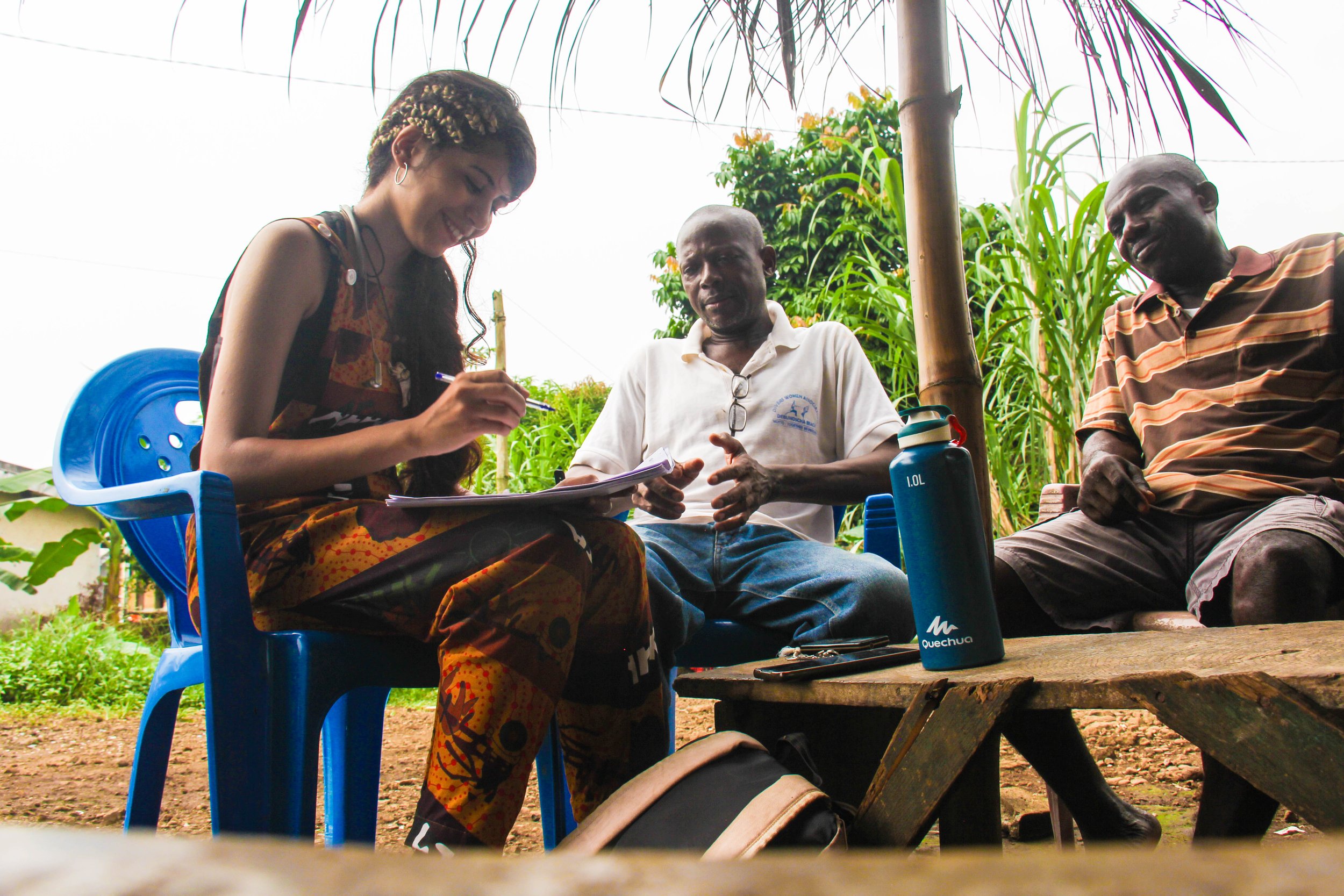
The coalition will strive to build local capacity and instill stewardship in future generations of marine scientists through education and outreach activities.

Engage local students and students from underrepresented backgrounds in STEM by providing fieldwork and laboratory experiences.

Collaborate with management authorities to optimize research and conservation outputs (e.g., identification guides, data collection standardization, mitigation strategies).
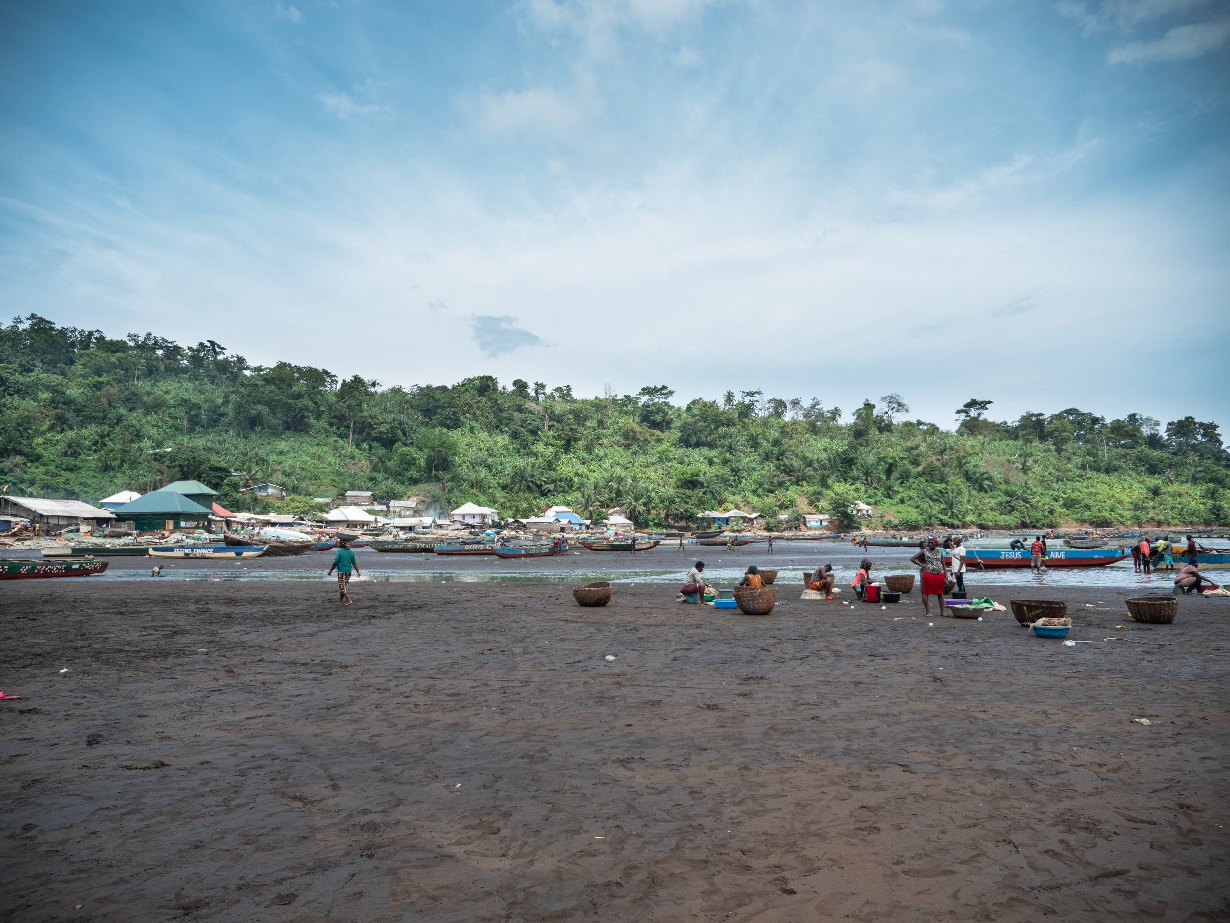
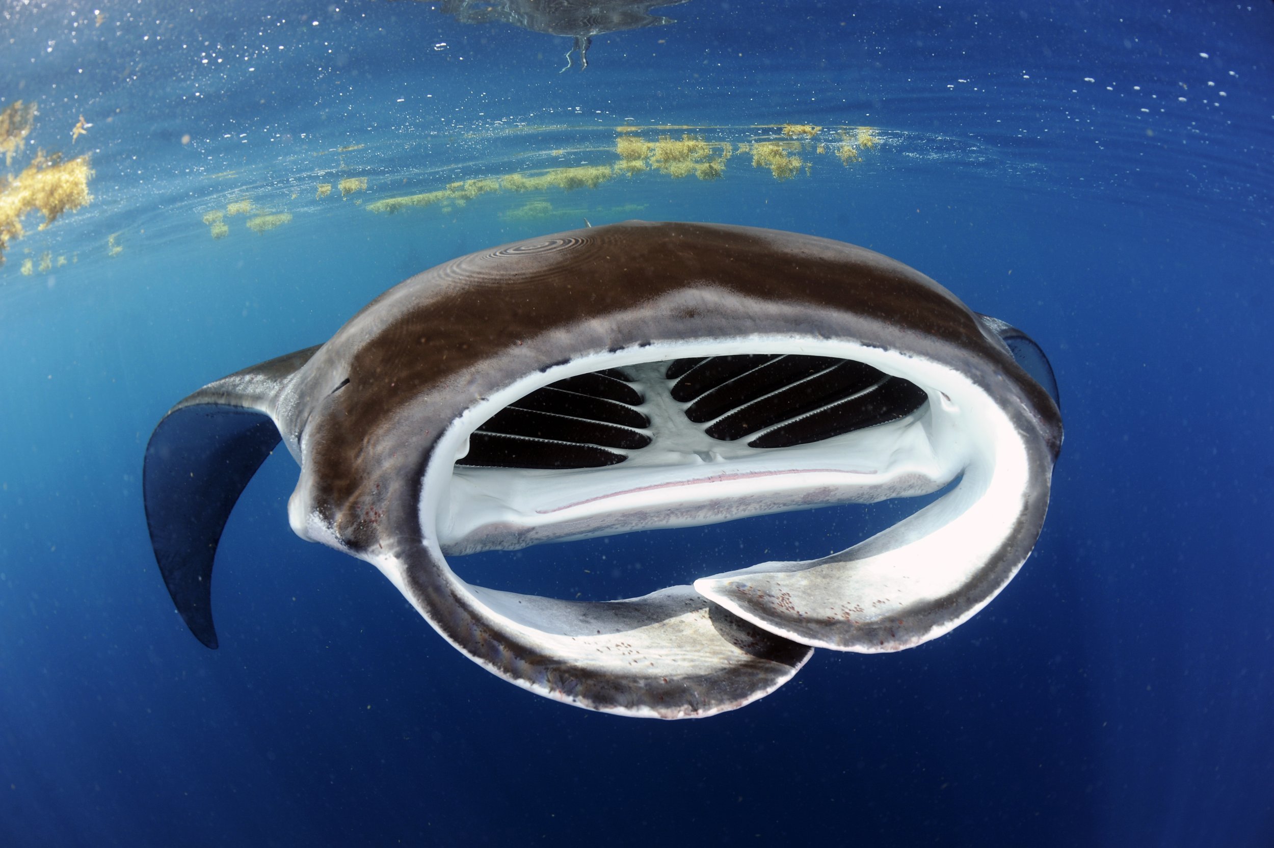
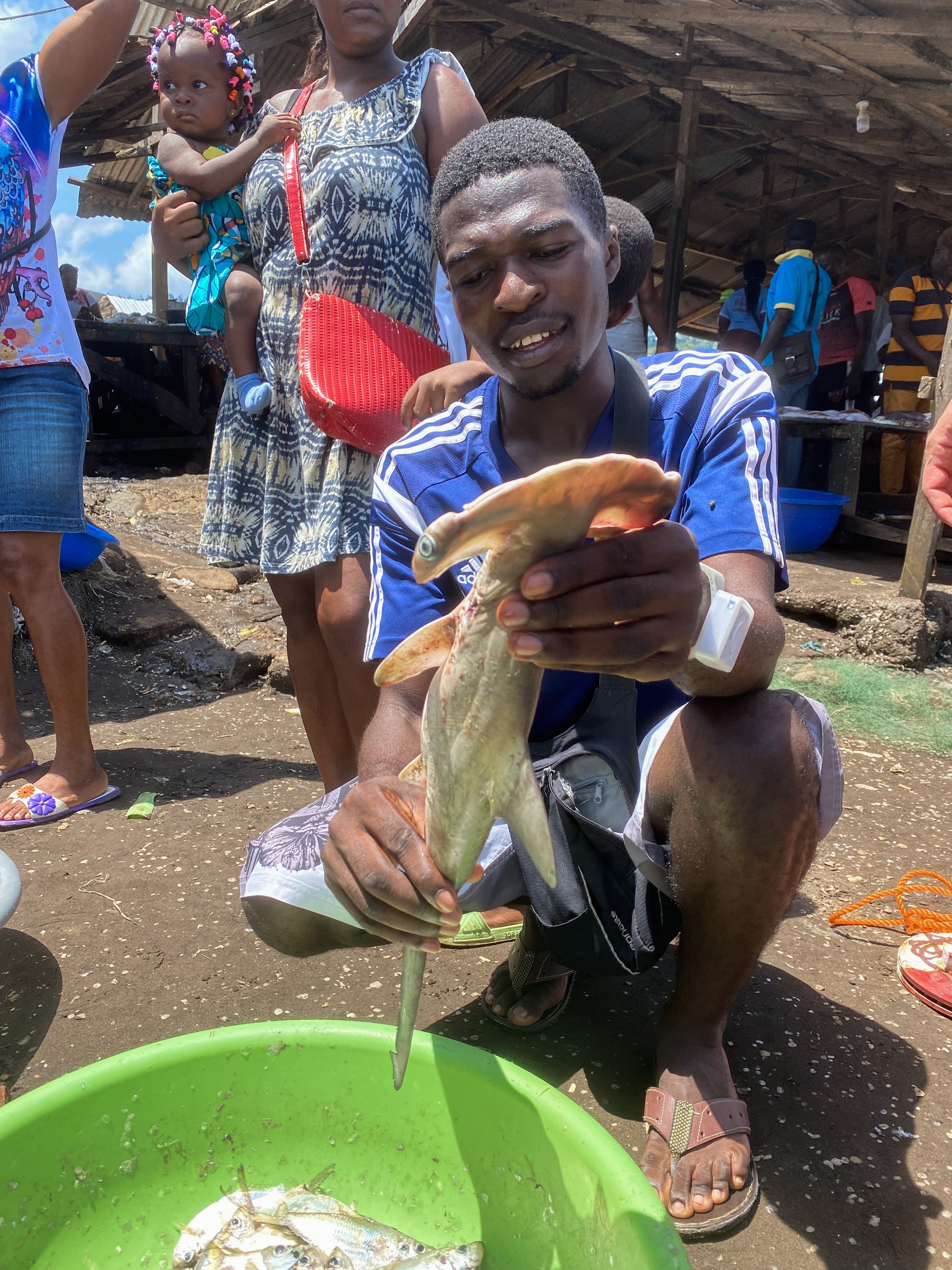
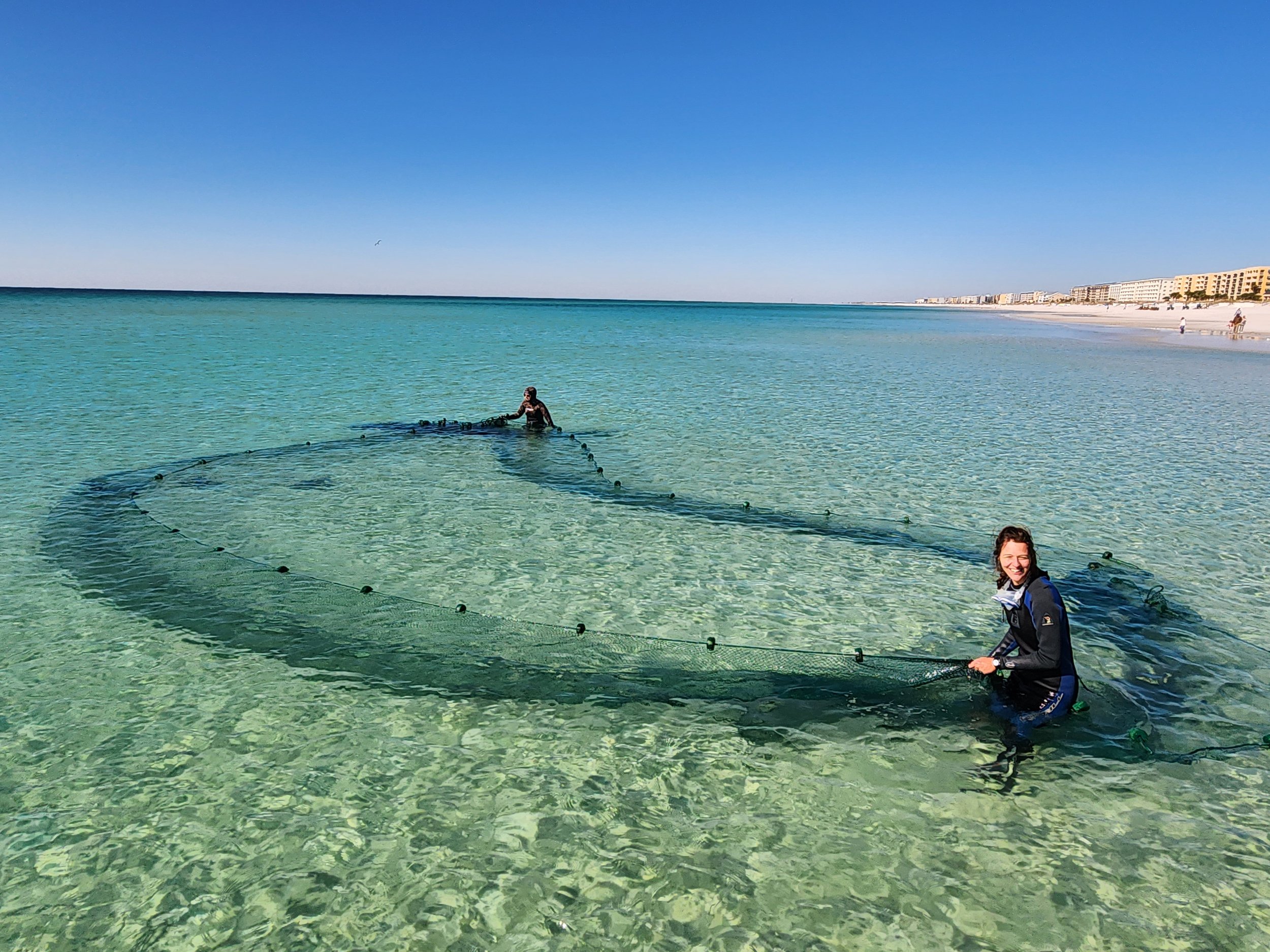
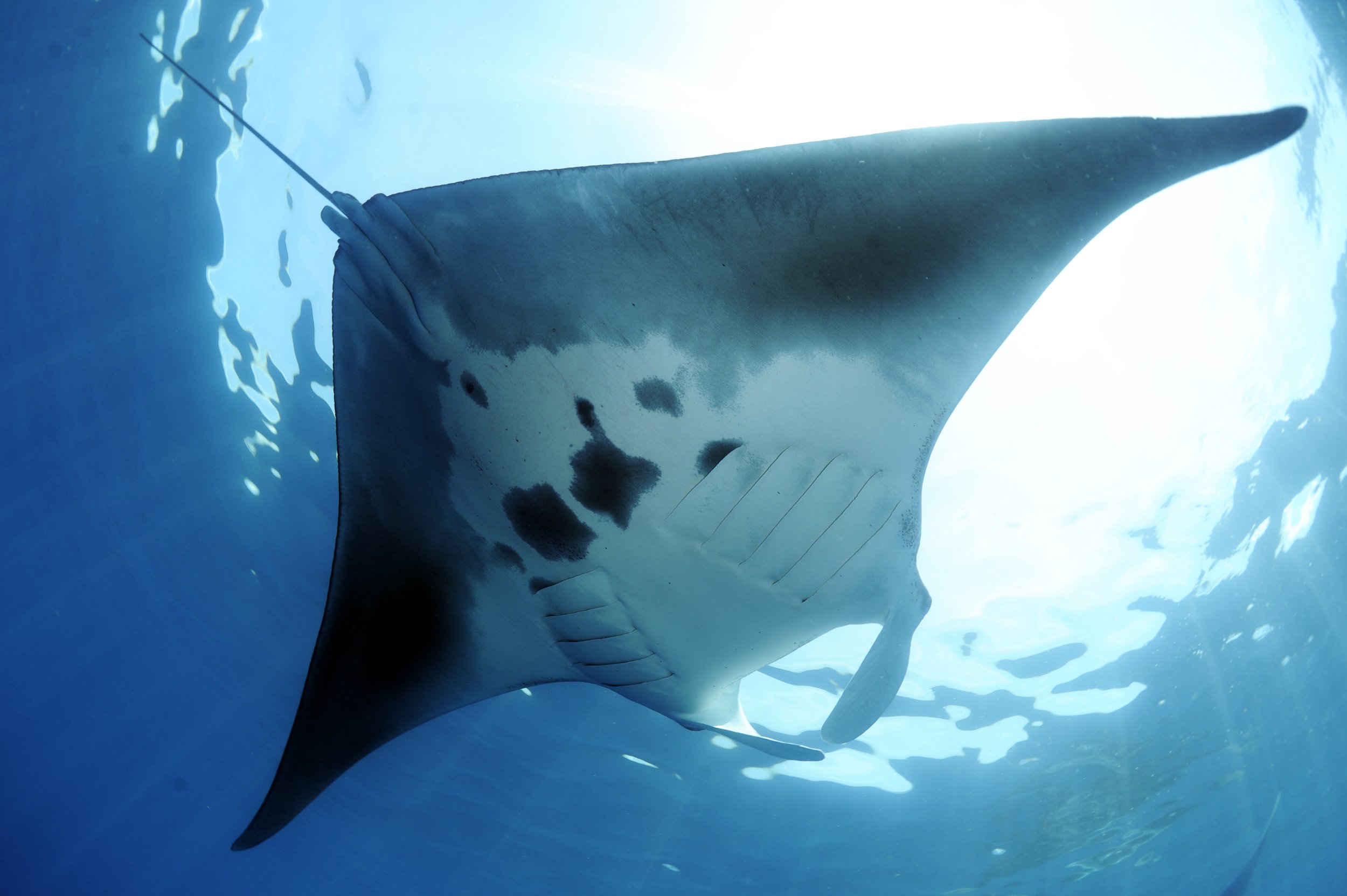
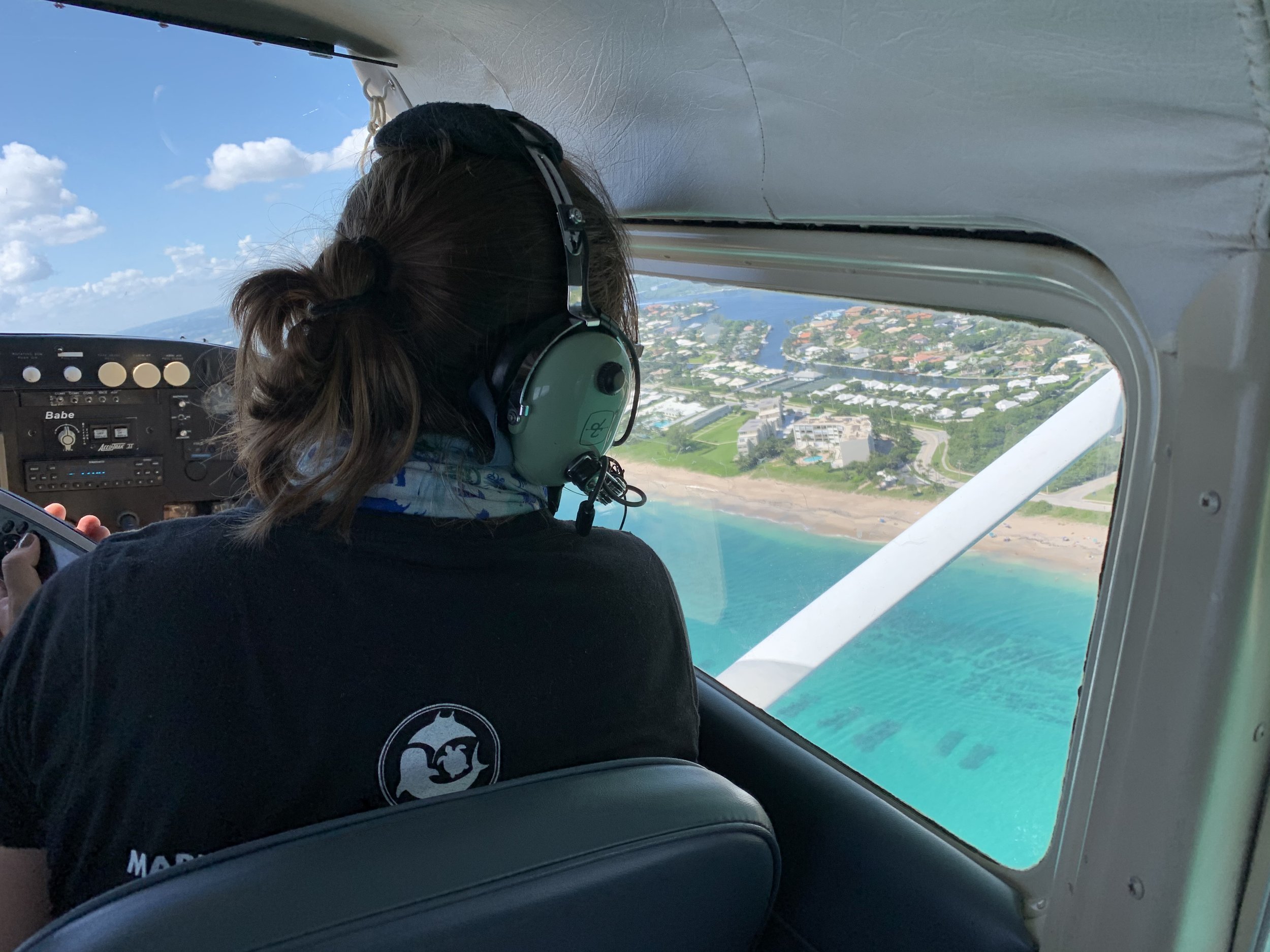
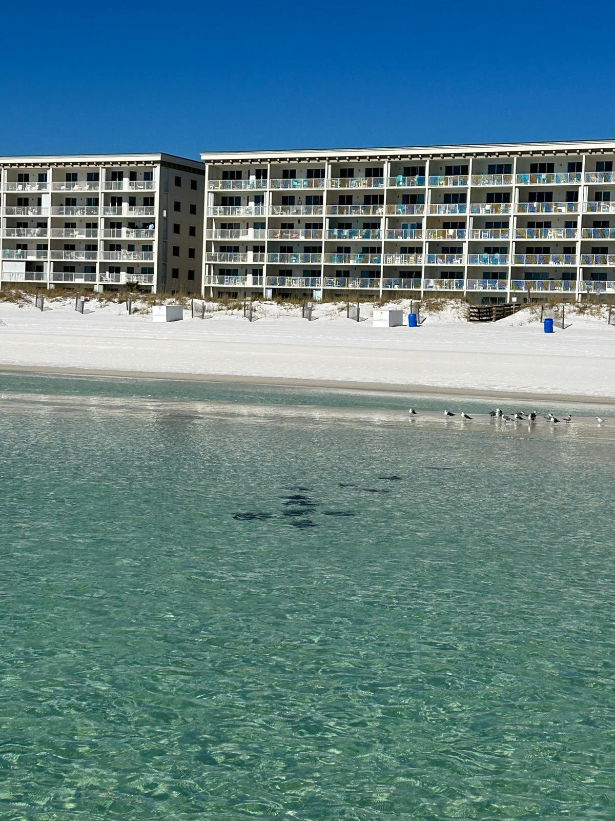
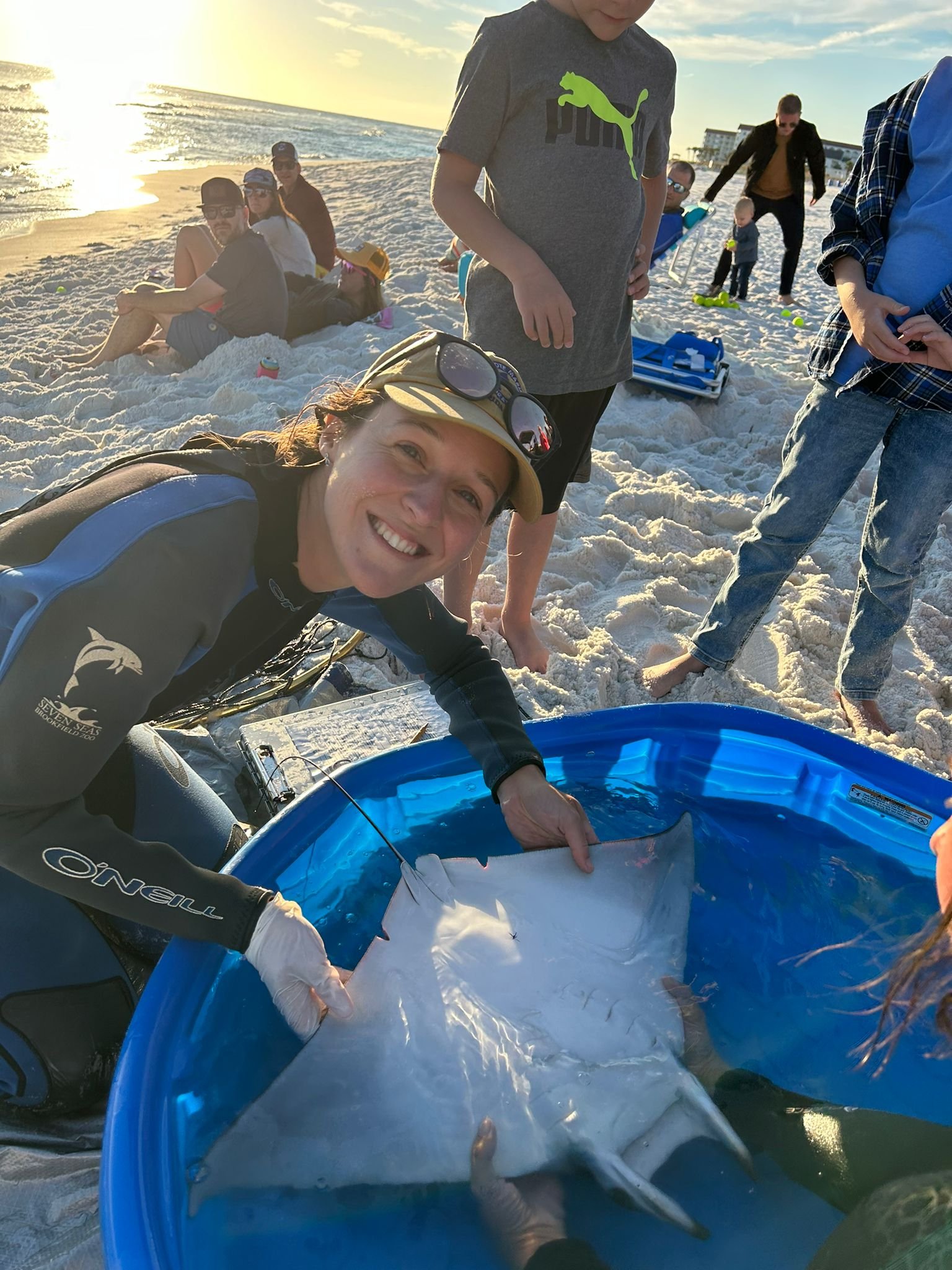
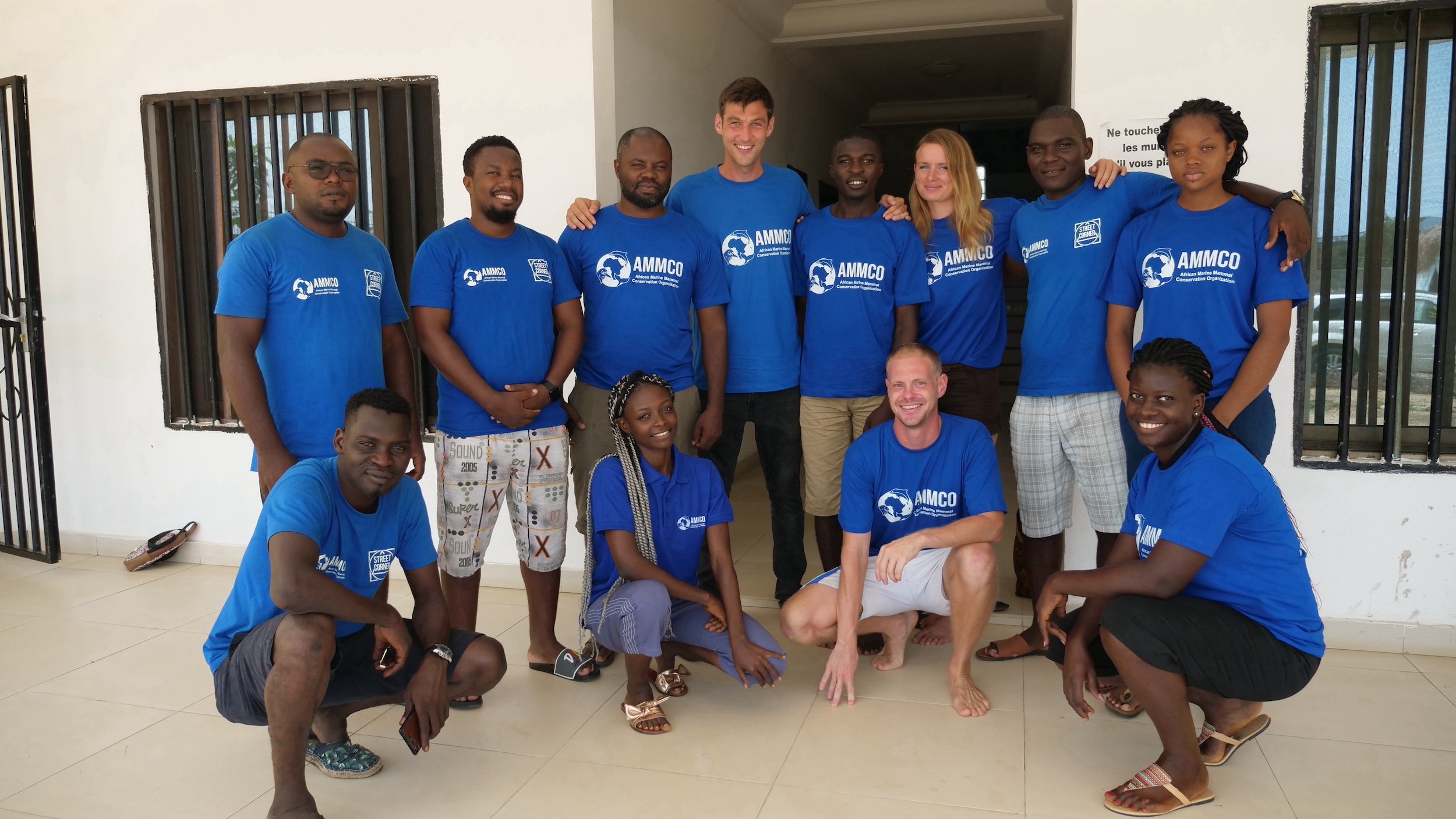
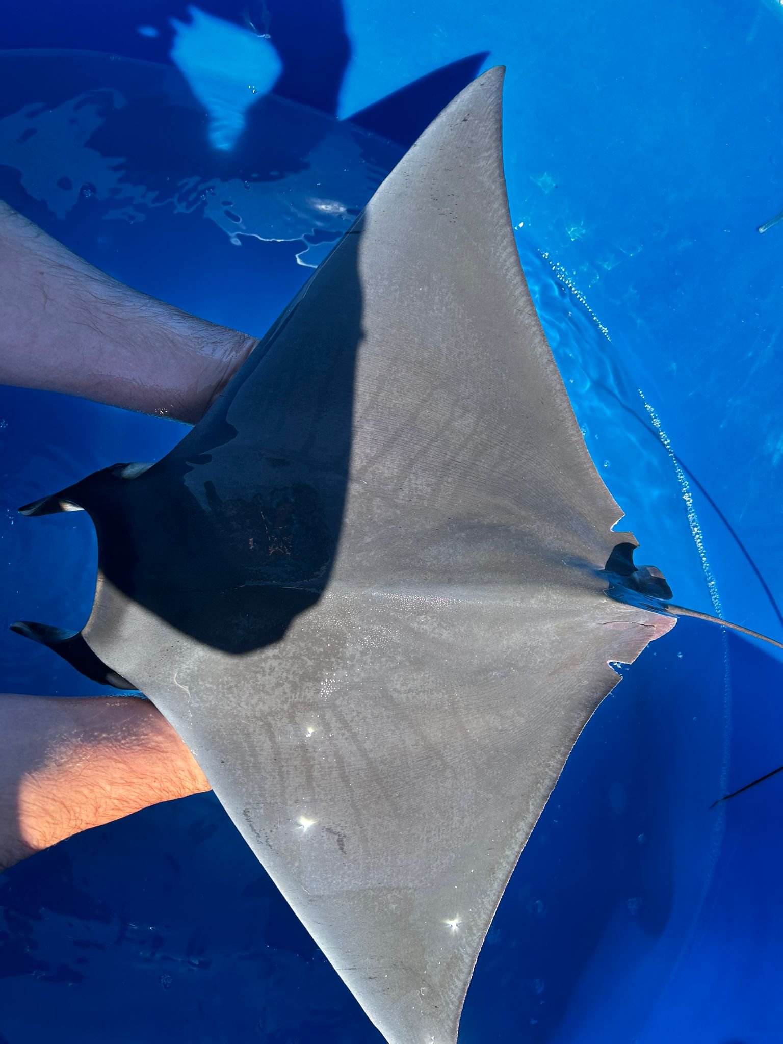
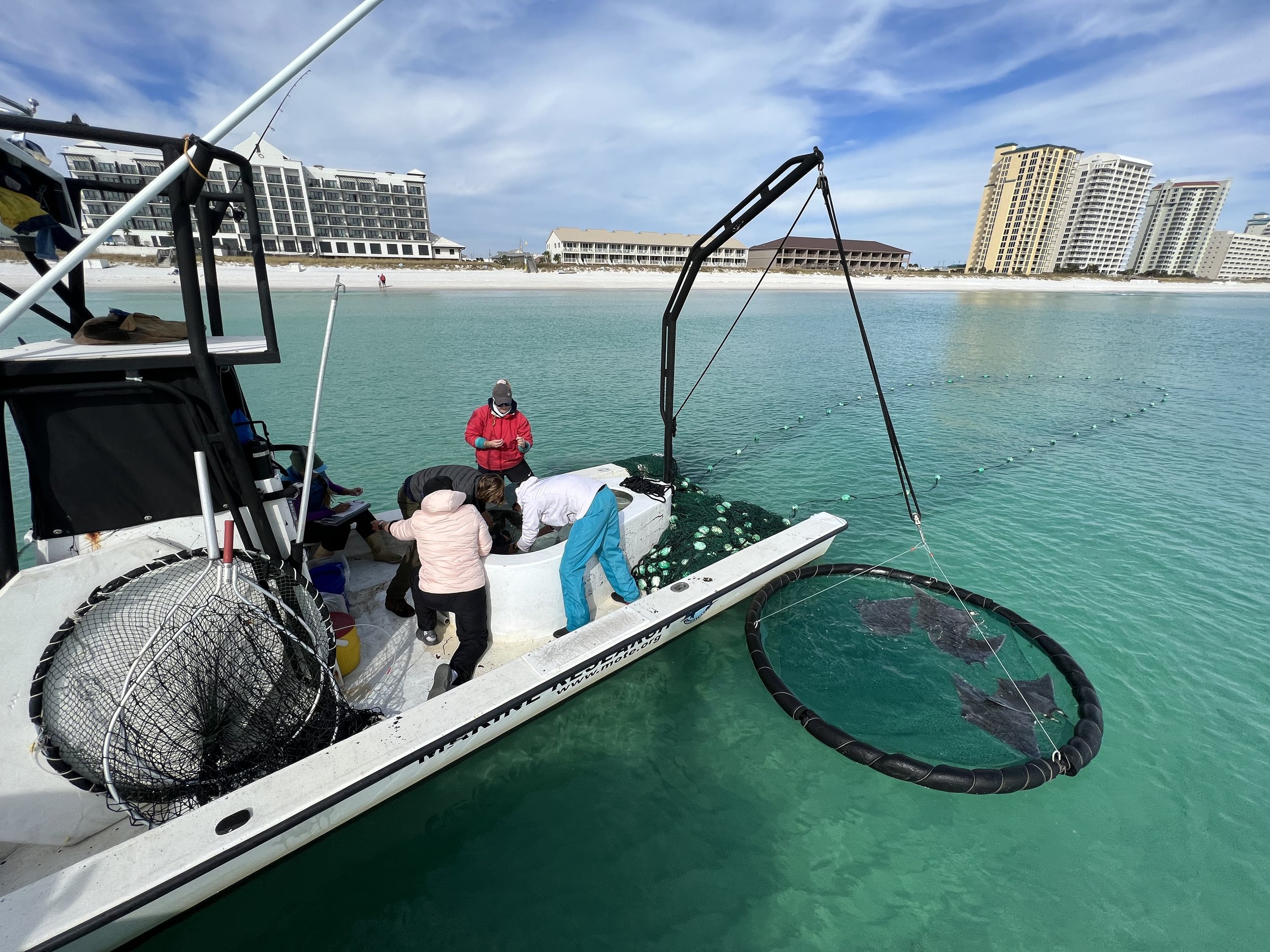
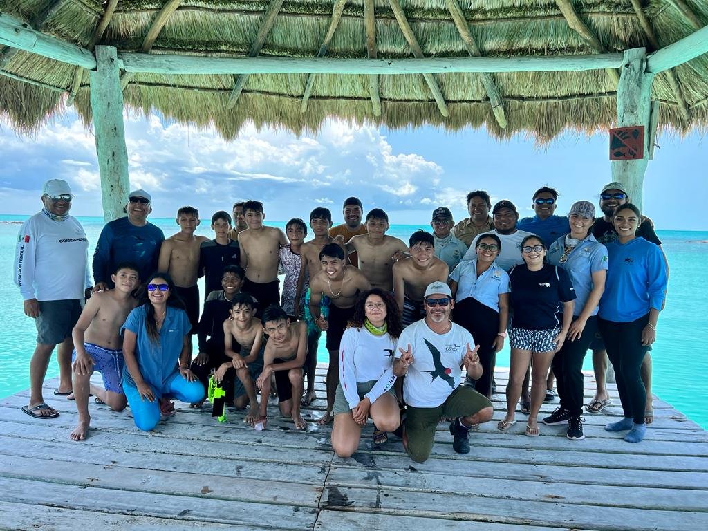
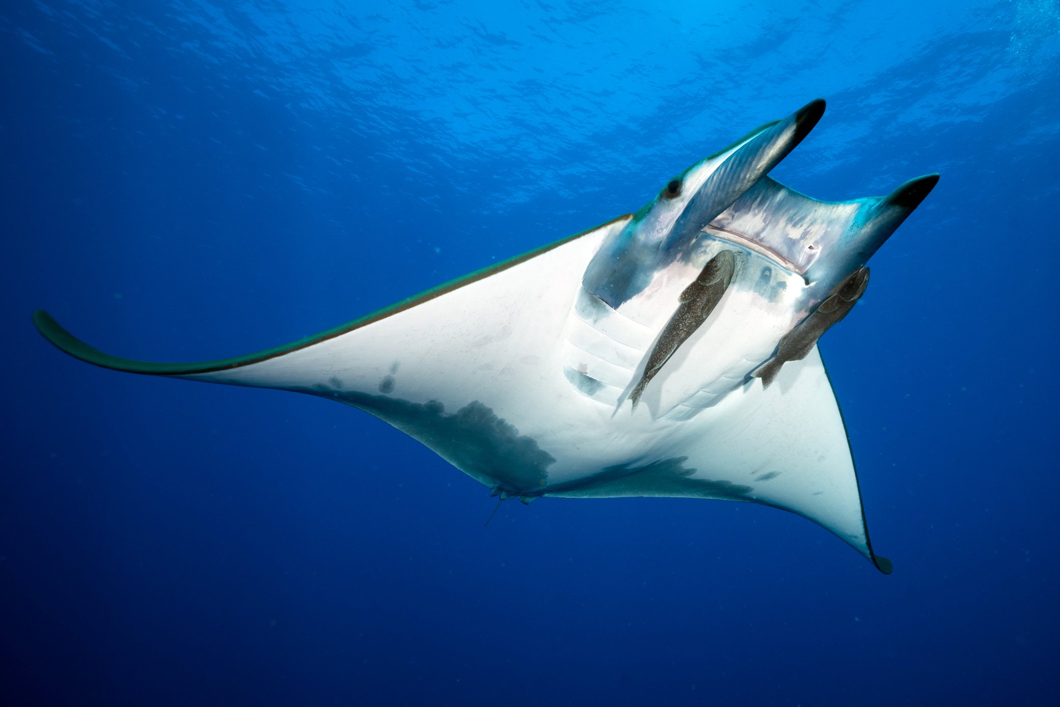
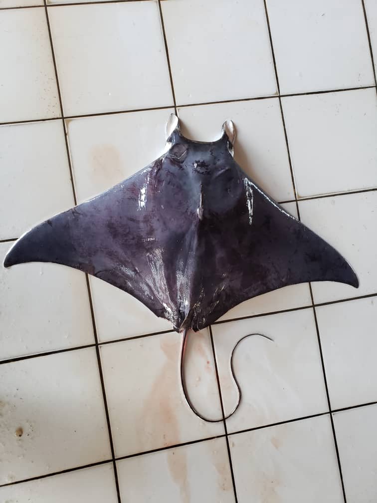
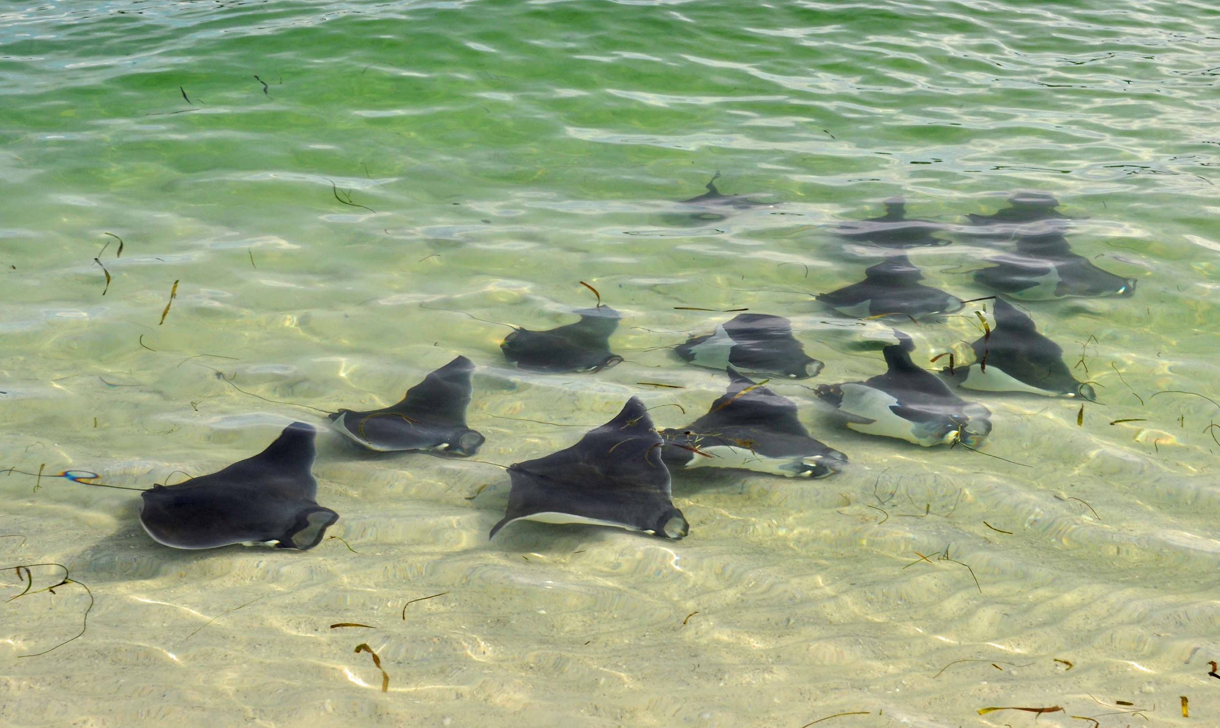
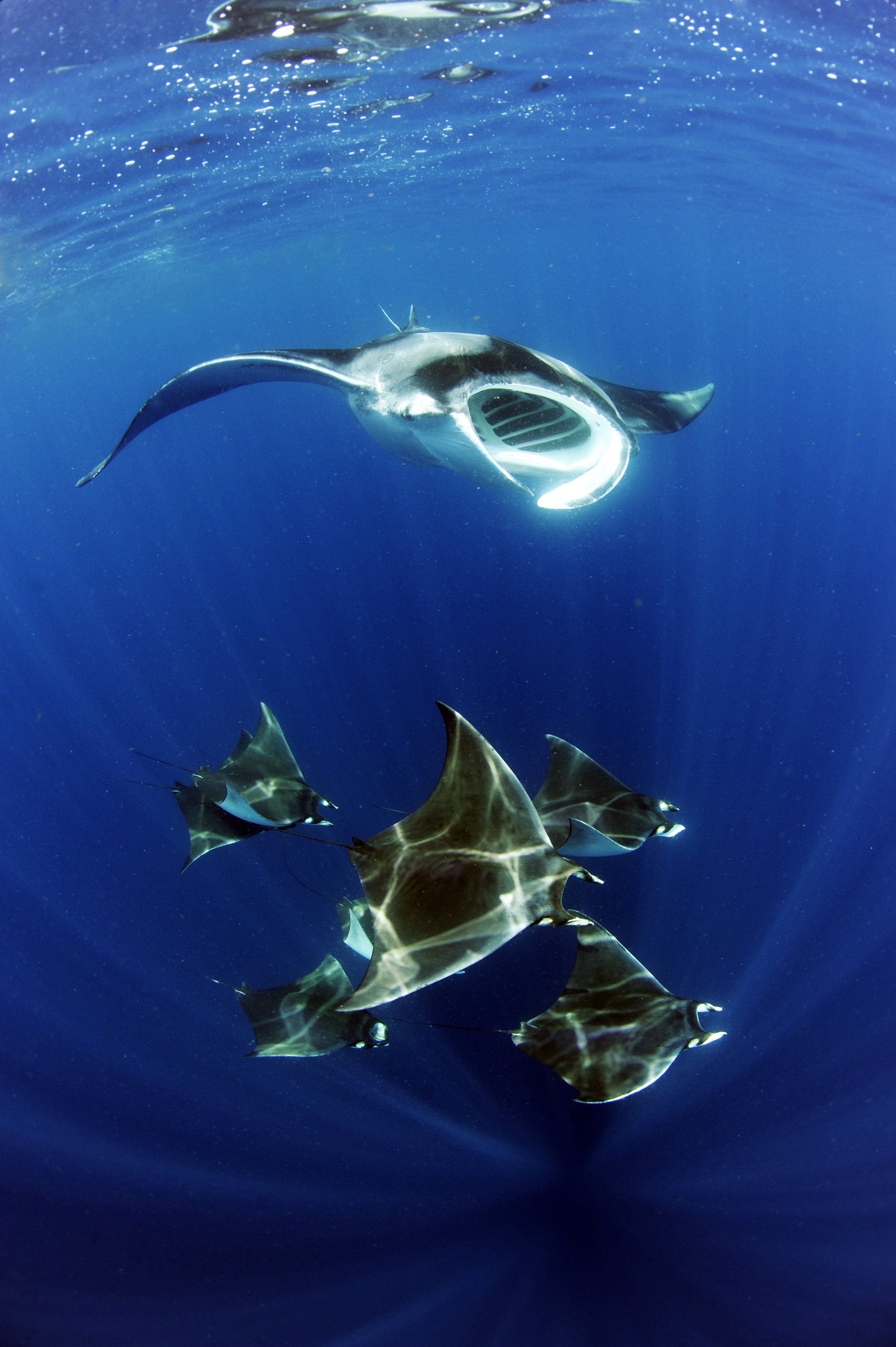
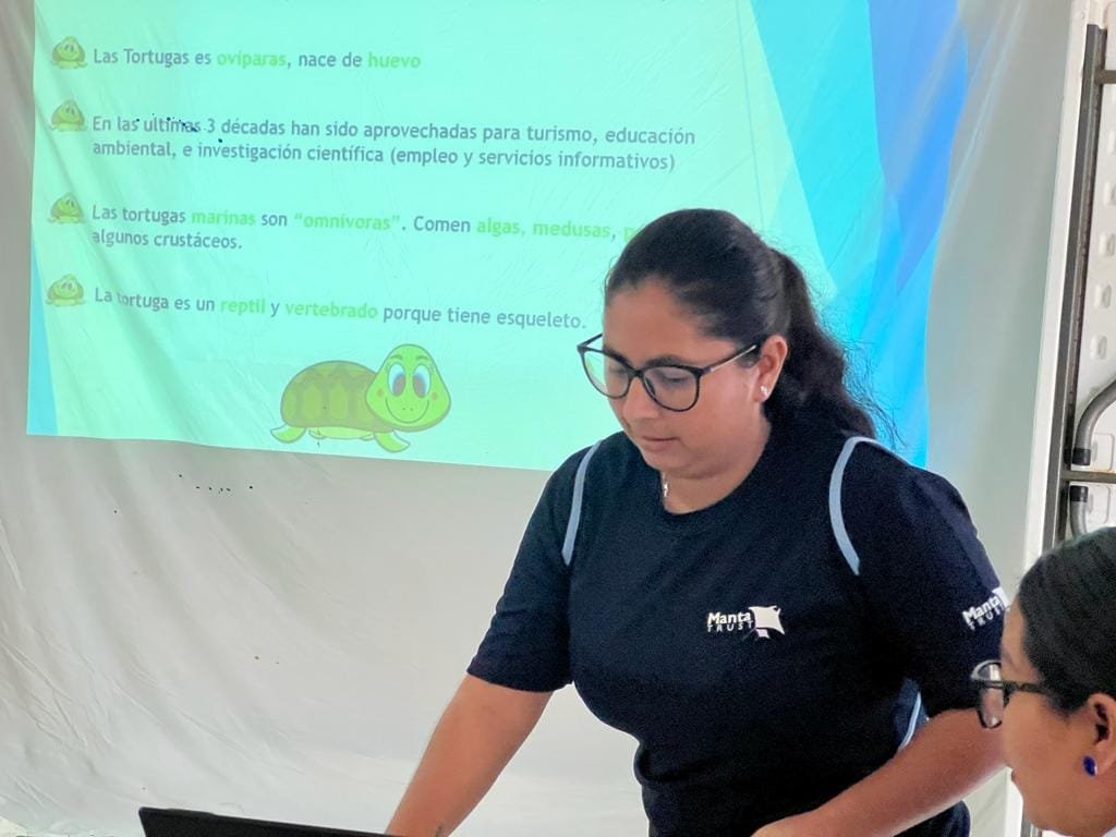
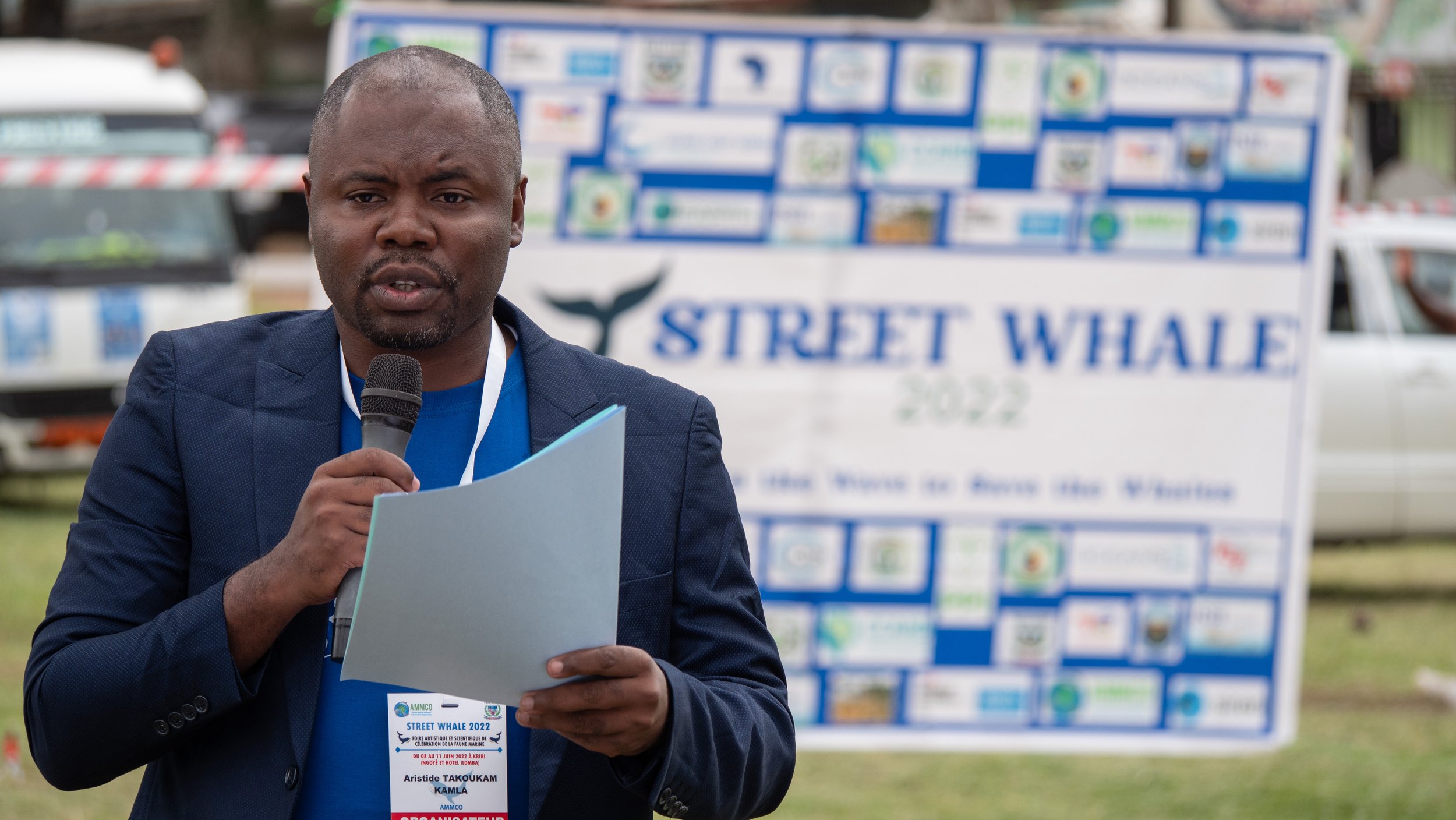
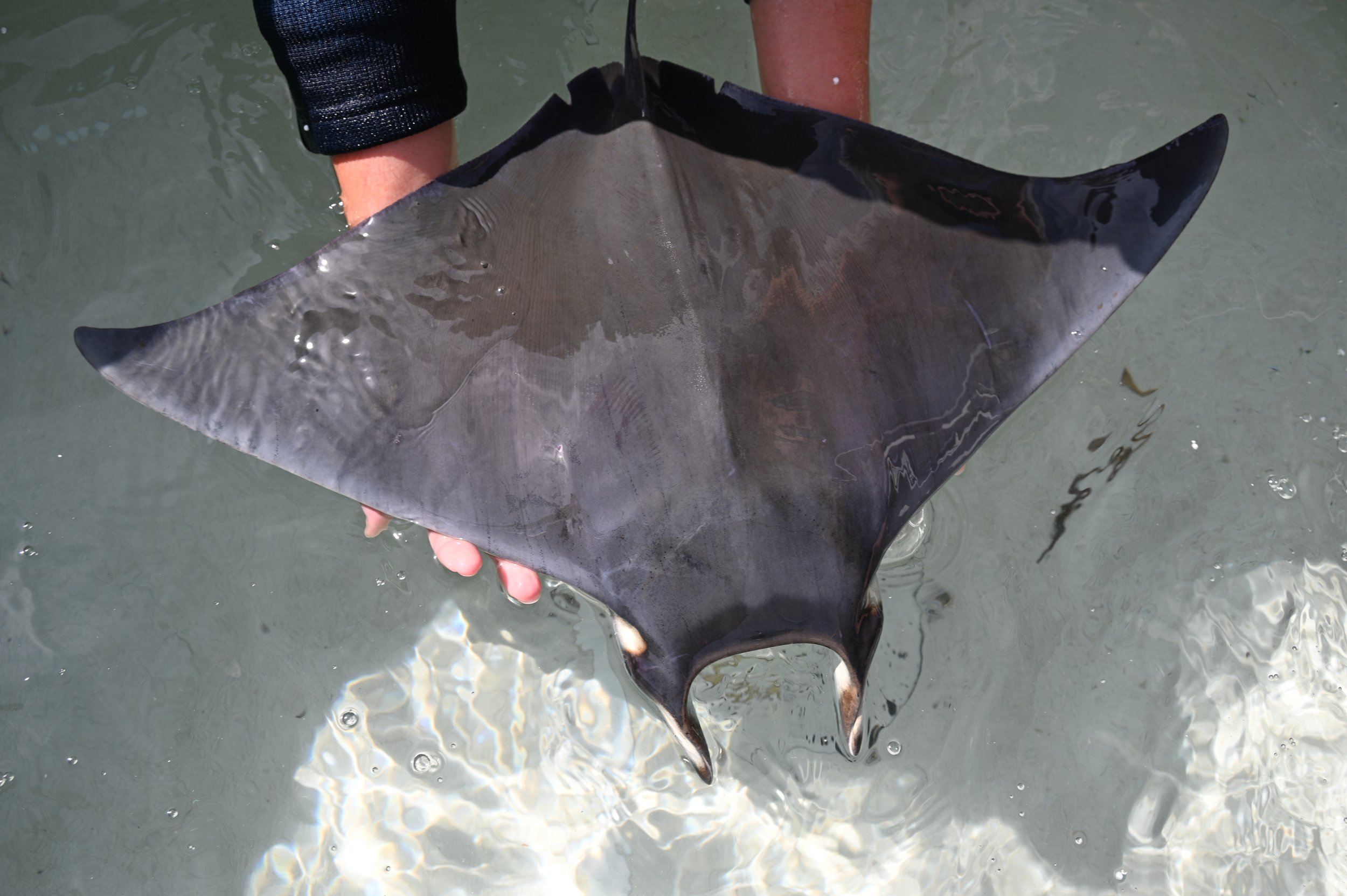
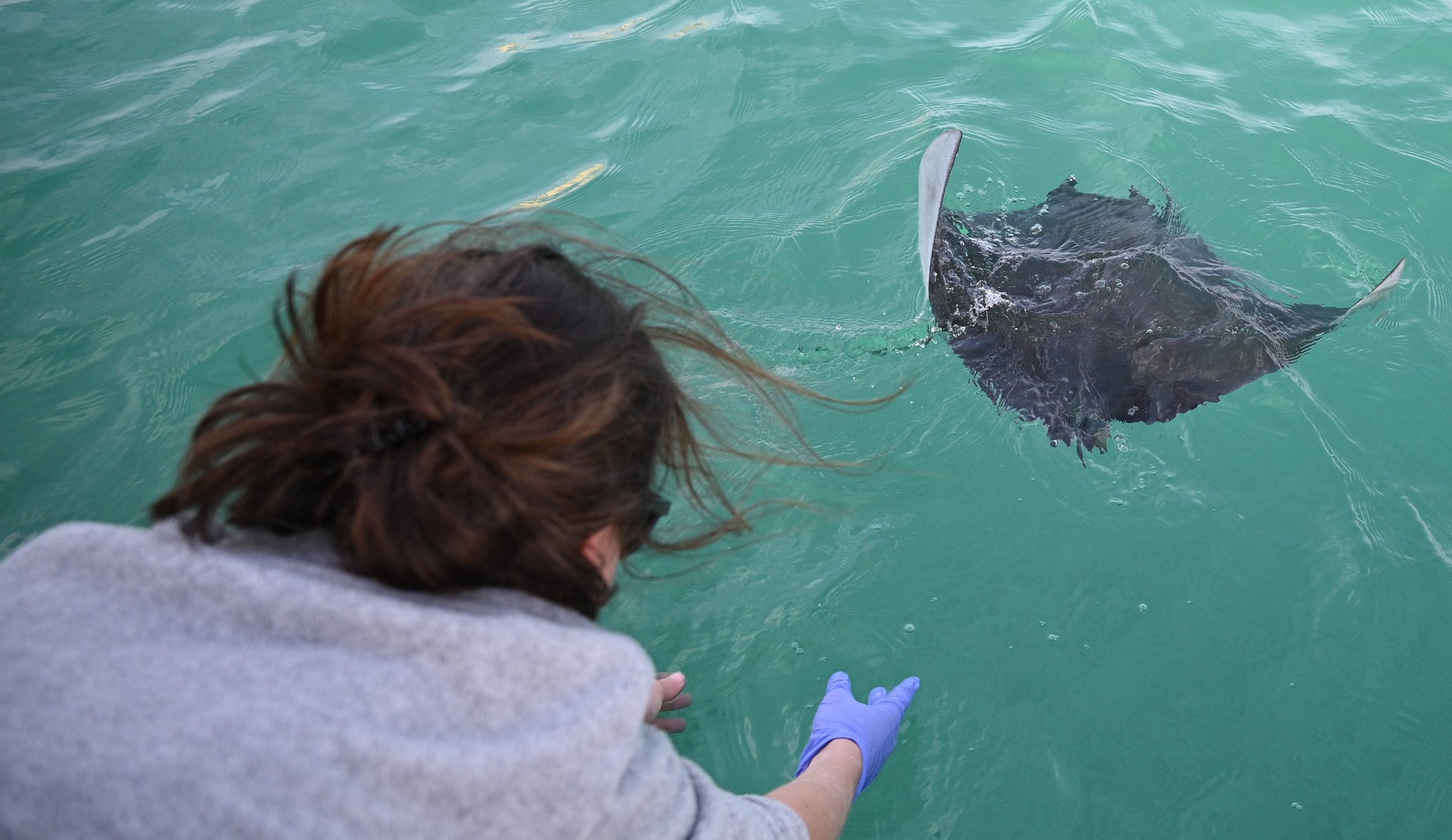
PHOTOS FROM THE FIELD
CONTACT US
If you are an organisation interested in joining the coalition, or have any questions, please get in touch!